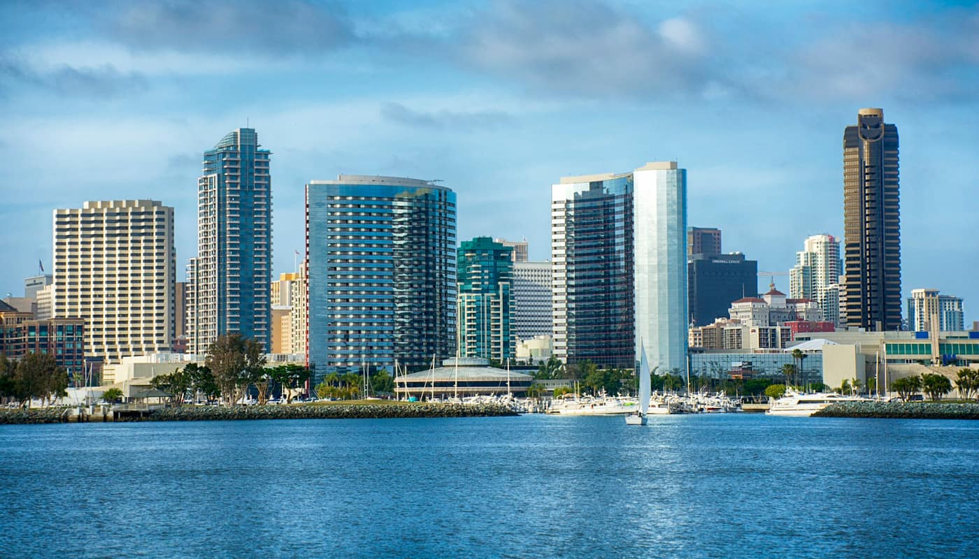
Every spring, visitors who have packed for sunshine arrive in San Diego to find the coast wrapped in low cloud, and locals shrug and say it is May Gray. A few weeks later it is June Gloom. The names are informal, but the weather behind them is well understood by forecasters, and once the mechanism is clear, the pattern stops looking random. It also explains why a ten-minute drive inland can mean a twenty-degree swing in temperature.
What is the marine layer?
The marine layer is a cool, moist layer of air that sits directly above the ocean and flows onto the coast. Because it is cool and heavy, it stays near the surface, and when it carries enough moisture the water vapor condenses into low cloud or fog. The result is a gray ceiling that can hang over the coast for hours or days.
The key ingredient is the ocean itself. The water off Southern California is cool throughout the year because of a southward-flowing current and because deep, cold water rises along the coast in a process called upwelling. Air passing over that cold surface is chilled from below.
Why is it a “layer”?
Normally, air gets cooler with altitude. Along the coast in spring, the pattern is interrupted: a layer of warmer air sits above the chilled air at the surface. Meteorologists call this a temperature inversion. The warm air acts like a lid, trapping the cool, moist air underneath it and keeping clouds from rising and dispersing. The depth of the marine layer, and therefore how far inland it reaches and how long it lasts, depends on how strong that lid is.
Winds matter too. Onshore breezes, driven by the temperature contrast between the cool sea and the warmer land, push the cloud deck inland. High pressure in the upper atmosphere presses down on the lid and can keep the cloud confined to a shallow layer near the coast. When conditions change, the layer can deepen, thin or retreat.
Why May and June?
The pattern is strongest in late spring because the air warms faster than the ocean does. By May, inland areas and the air aloft are heating up with the sun, while the sea surface is still cold from winter and spring upwelling. The greater the gap between warm air above and cold water below, the stronger the inversion and the more reliable the cloud deck.
As summer advances, the ocean gradually warms and the contrast shrinks, so the clouds become less widespread in July and August. In the fall, sunshine returns along the coast, and the region’s warmest beach weather often arrives in September and October. The season varies from year to year. Meteorologists have tied differences to ocean temperature patterns, with warmer-water years generally producing fewer gray days.
Why does it burn off by afternoon?
On many days, the sun eventually wins. Sunlight heats the ground and the air near it, and the cloud layer thins as the day warms and the inversion weakens. Clouds often retreat toward the water by early afternoon and return in the evening as the land cools. That daily rhythm is why locals say the beach is gray in the morning and sunny by lunch.
On some days, the layer is too thick or the lid too strong, and the clouds do not clear at all along the immediate coast. These days feel cool, damp and dim, and the sun may appear only for a short time near sunset.
How big is the difference inland?
The marine layer is a coastal phenomenon, and its influence fades with distance from the water. Communities near the beach may be cloudy and in the 60s while valleys and foothills a few miles east are sunny and many degrees warmer. In the county’s far inland areas and deserts, the marine layer rarely reaches at all. That gradient is a major reason San Diego County is described as a region of microclimates, a trait that affects everything from gardening to energy use.
The cloud cover also lowers temperatures at the coast. In one May cited by the National Weather Service’s San Diego office, coastal temperatures ran a couple of degrees below the long-term average, a reminder that persistent cloud affects daily highs as well as sunshine hours.
Is there a difference between May Gray and June Gloom?
Mostly it is a matter of timing and habit. May Gray is the label locals give to the gray, cool stretches in the middle of spring, and June Gloom is the same pattern continuing into early summer. Some years the peak falls in May, other years in June, and occasionally the clouds persist into July, sometimes called “No-Sky July” by residents who have had enough. Forecasters do not treat them as separate events, because the physical cause is the same: cool surface water below and a warm lid above. The names stuck because the pattern is so reliable that nearly everyone who lives on the coast has a story about a vacation or wedding planned around it.
What should visitors and residents do about it?
A few practical habits help:
- Plan flexibly. If an outdoor activity matters, keep time open in the afternoon, when clearing is likeliest.
- Bring layers. Mornings by the water can be chilly even when the afternoon is warm.
- Use sunscreen. Clouds scatter and filter sunlight but do not block ultraviolet radiation, and sunburn is common on gray days.
- Check the forecast discussion. The National Weather Service posts forecast discussions that describe how deep the marine layer is expected to be and when it should clear.
- Look inland. If the coast is socked in, areas inland or a short drive away may be sunny.
Event planners, including those at outdoor venues such as Balboa Park, schedule around this rhythm, and photographers and hikers often treat the gloom as an opportunity for soft light.
Can forecasts predict it?
Forecasters can say with good confidence that a marine layer will form on a given night, but they have a harder time predicting exactly how far inland it will reach and when it will clear. The difficulty is that small changes in depth or wind can shift a cloud deck by miles, and the clearing time depends on how much sunlight reaches the ground. Forecast discussions often use phrases such as “clearing to the coast by early afternoon” or “stubborn clouds near the beaches,” and the satellite images that show a gray ribbon hugging the coastline are a reliable visual guide. Learning to read those phrases and images is the quickest way to plan a day outdoors.
Does the marine layer have wider effects?
Yes. The cooling influence helps keep the coast mild year-round and reduces the need for air conditioning in many coastal homes, an influence on household energy use and on the regional economy. The moisture also helps coastal plants and ecosystems. Fog drip provides water to some species in dry months, and the layer lowers fire danger at the coast by raising humidity. Fire agencies watch the opposite scenario closely, when winds push the marine layer away and dry air from the desert replaces it. That pattern is central to the fall fire risk described in wildfire preparedness in San Diego County.
The marine layer is also a reminder of how closely the region’s climate is tied to the ocean next to it. The cool water that makes the beaches mild and the clouds persistent is the same water that shapes the coastal ecosystem and, for visitors, the experience of a trip.
Sources: National Weather Service San Diego; National Oceanic and Atmospheric Administration; Scripps Institution of Oceanography